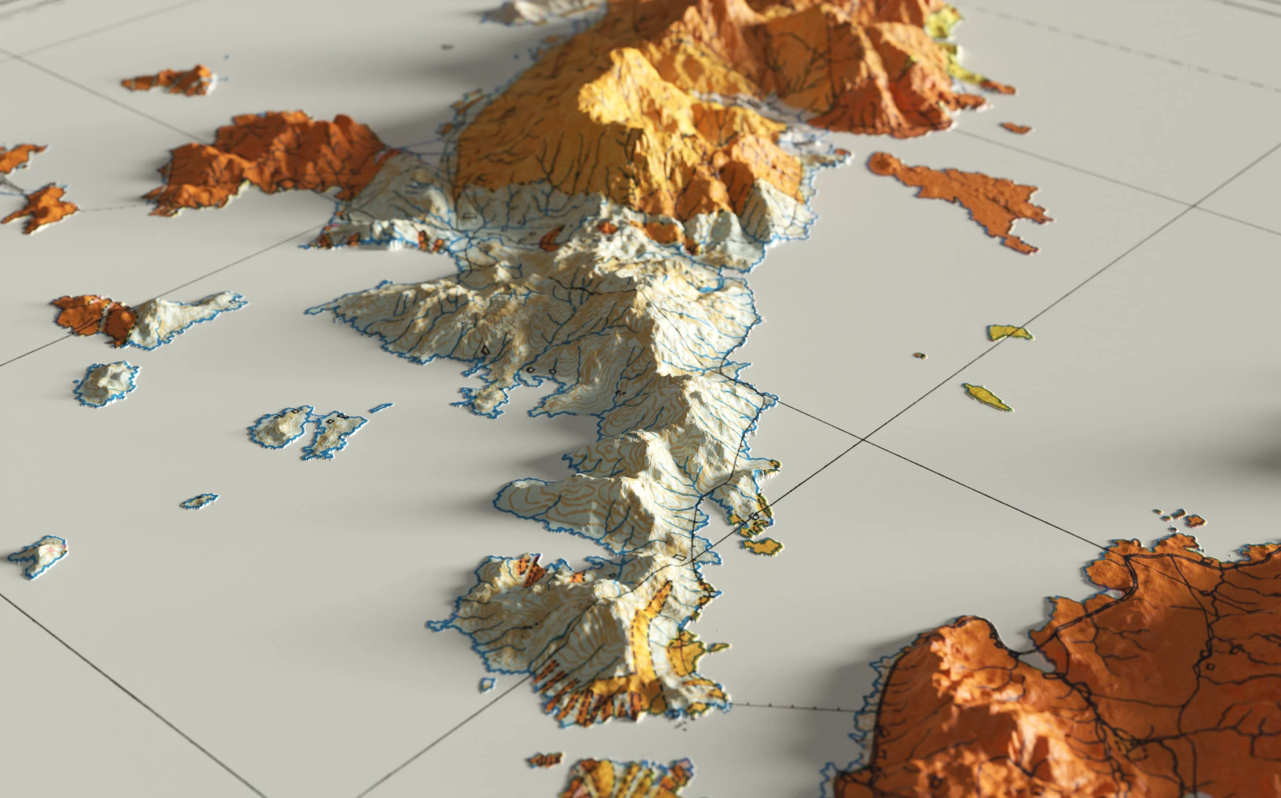
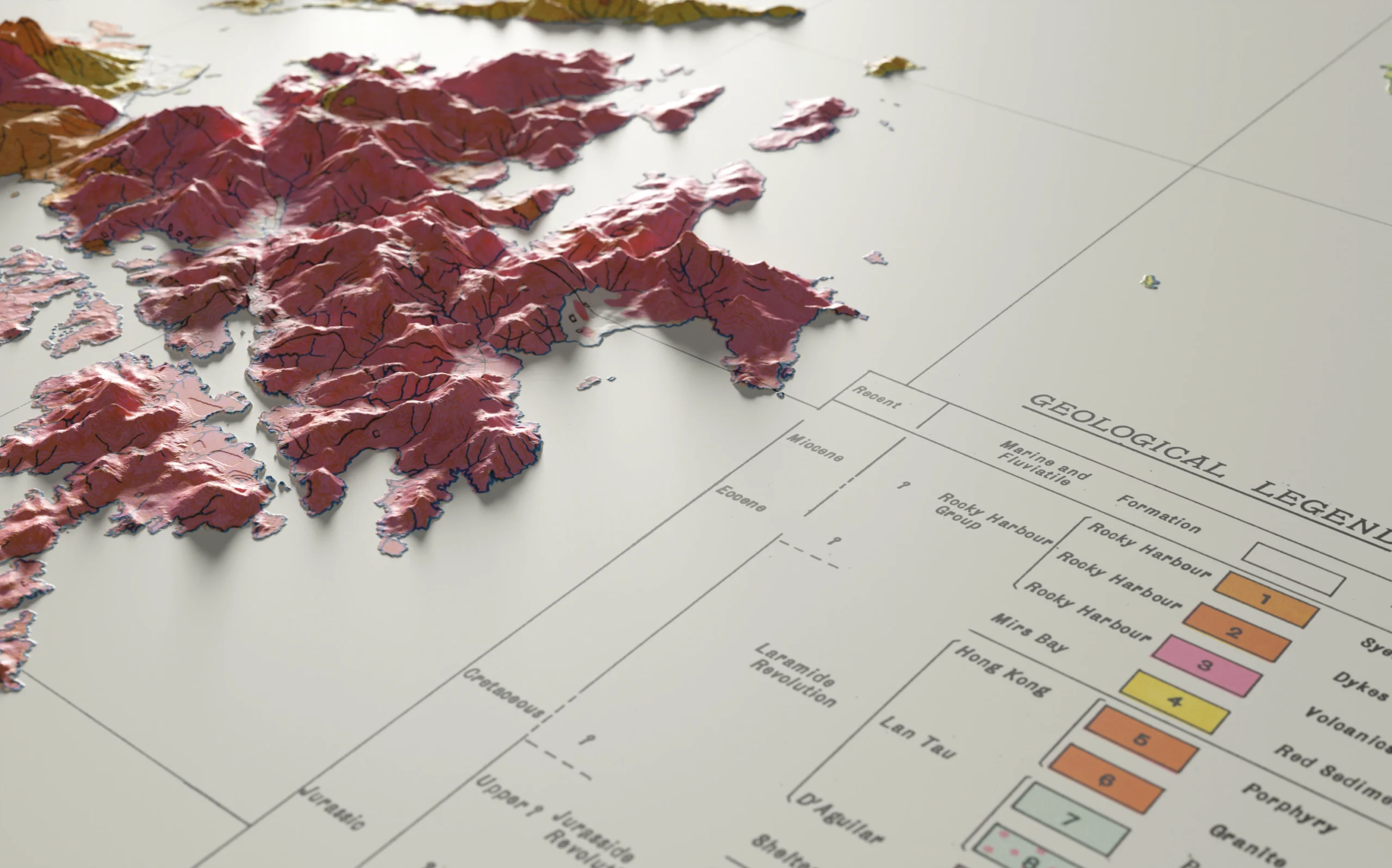
Revitalise a historic map by creating an augmented reality experience on social media using terrain data from NASA.
Read details
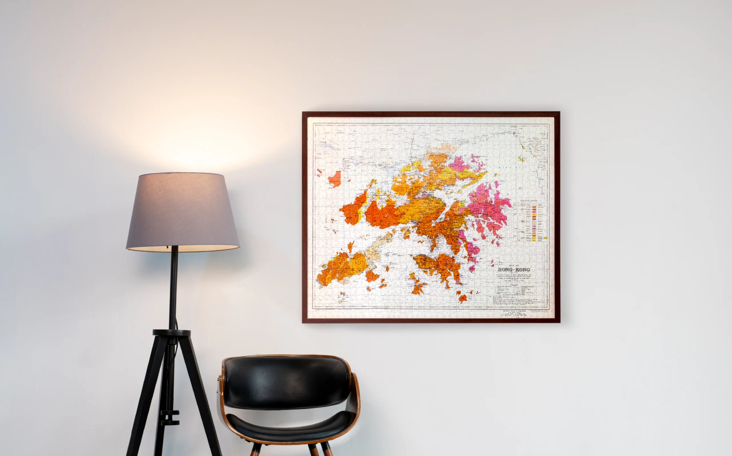
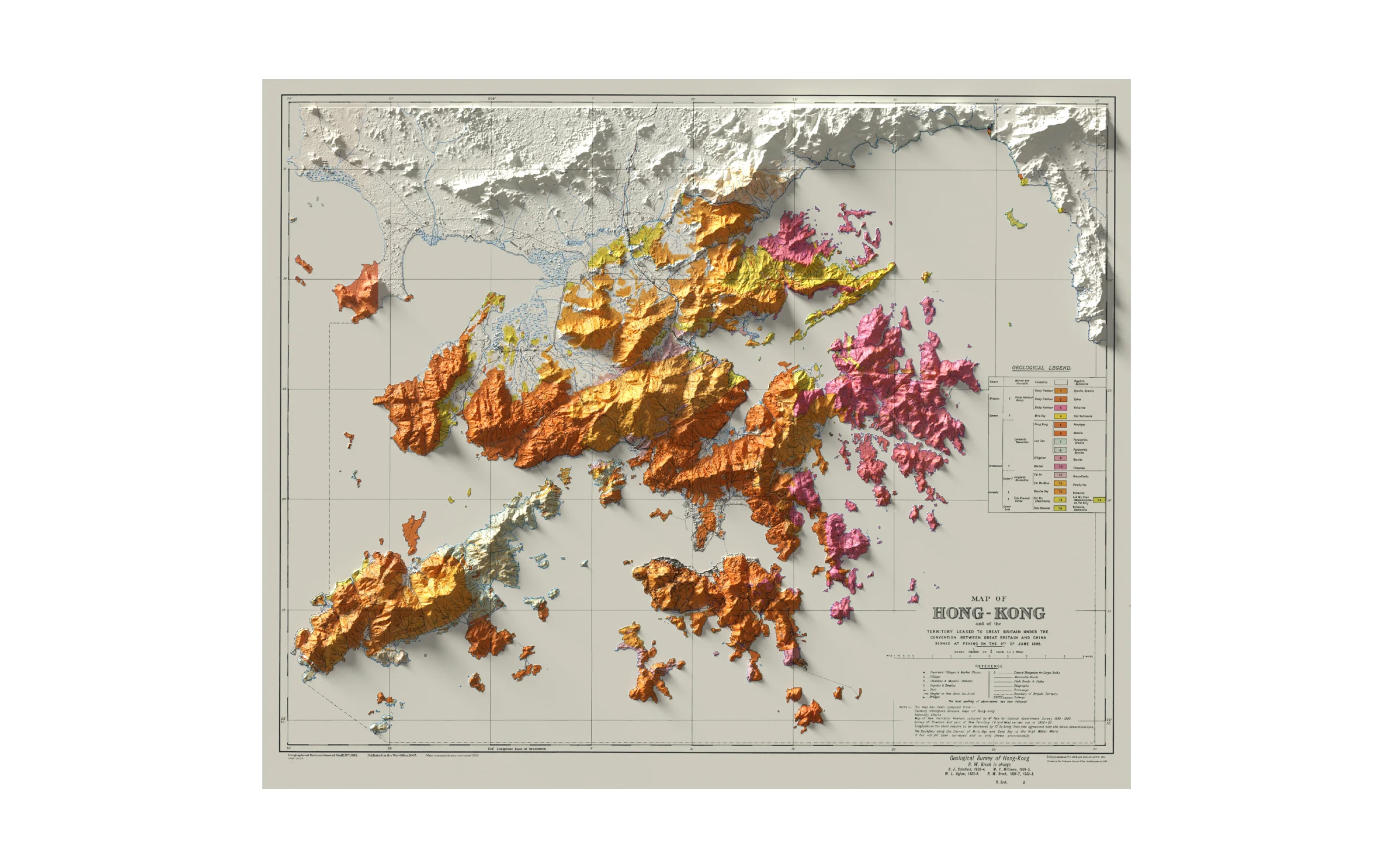
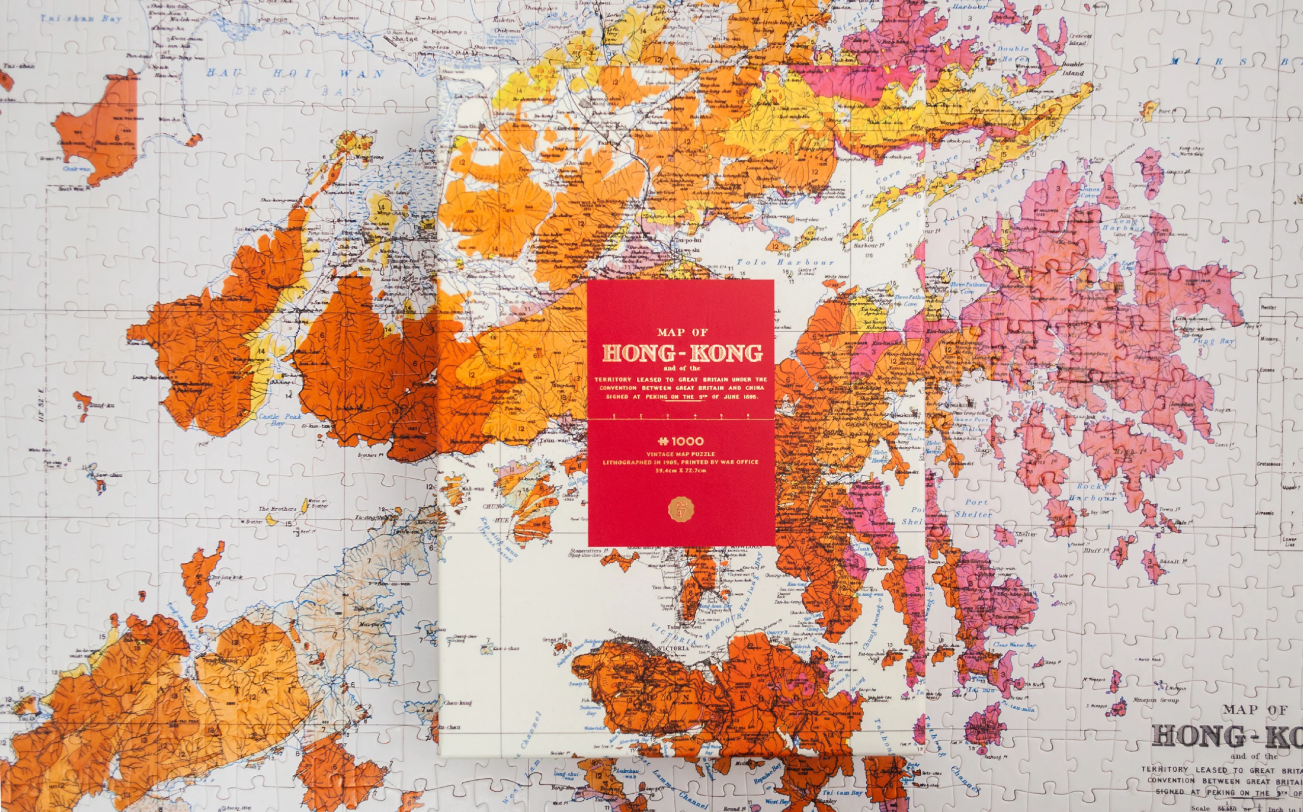
Map of HK is a 1000-piece puzzle reviving one of the most important maps in Hong Kong’s history. The early 19th-century map is the result of the first territory-wide geography and land survey. It is a cornerstone of Hong Kong geological studies, governance and development. Preserving historical value is the key focus in designing the package and the AR experience.
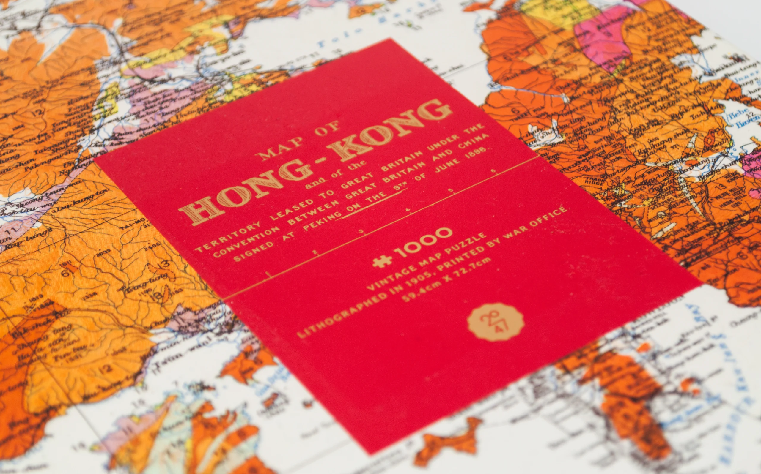
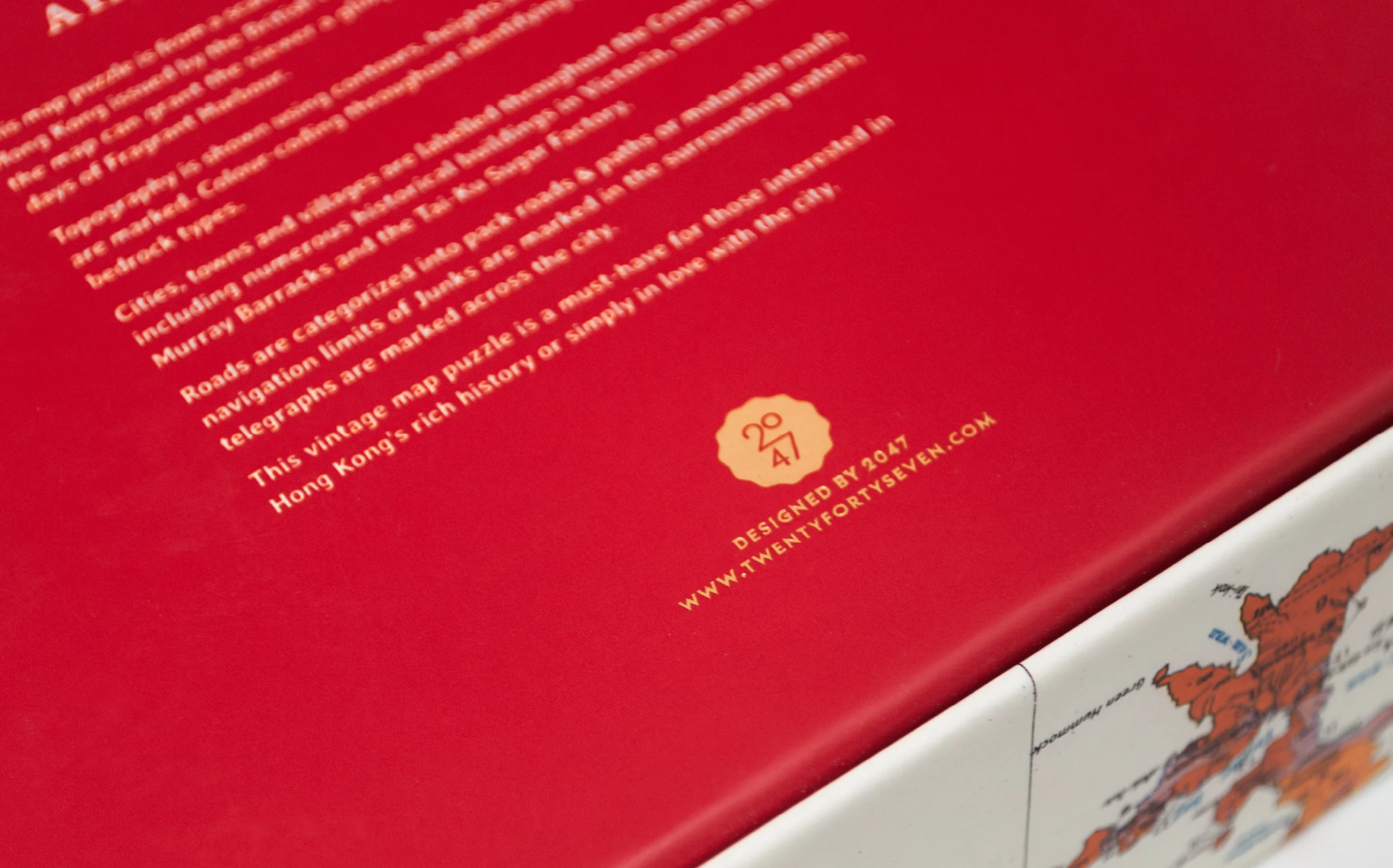
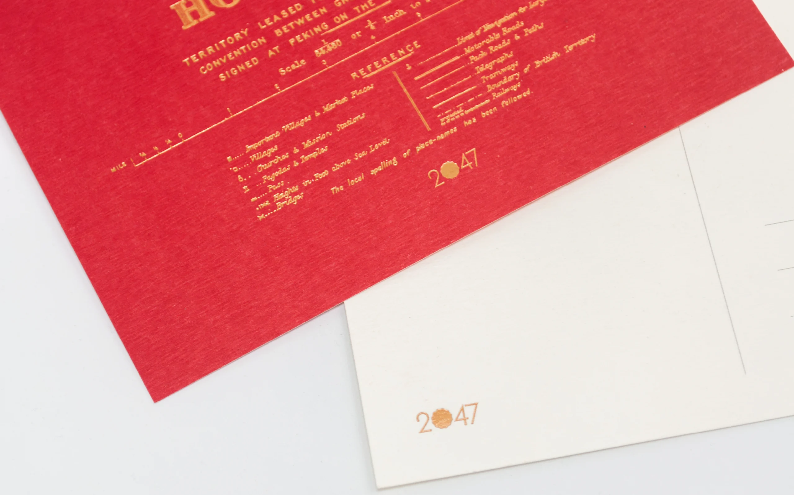
The packaging features the map on a 1:1 scale, providing a sense of scale size and detail of the puzzle. The product label appropriates the original map’s title and description, with additional information set in matching typography, reminiscing a bygone era.
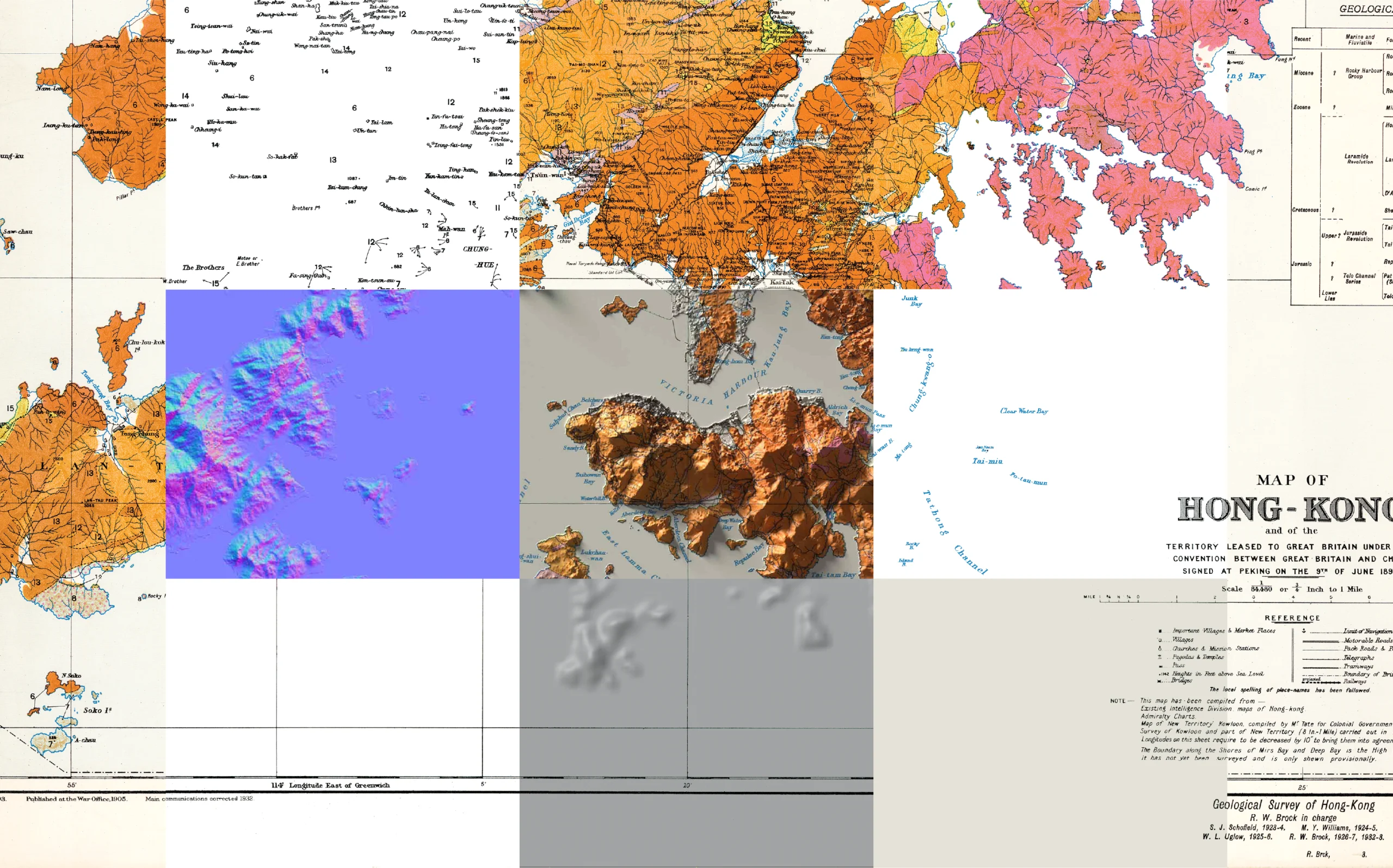
In preparation for creating the relief map in Blender, map features are separated into isolated layers. The resulting voids are filled with matching geographic colour codes and terrain features. This is a meticulous process that equates to recreating the entire map.
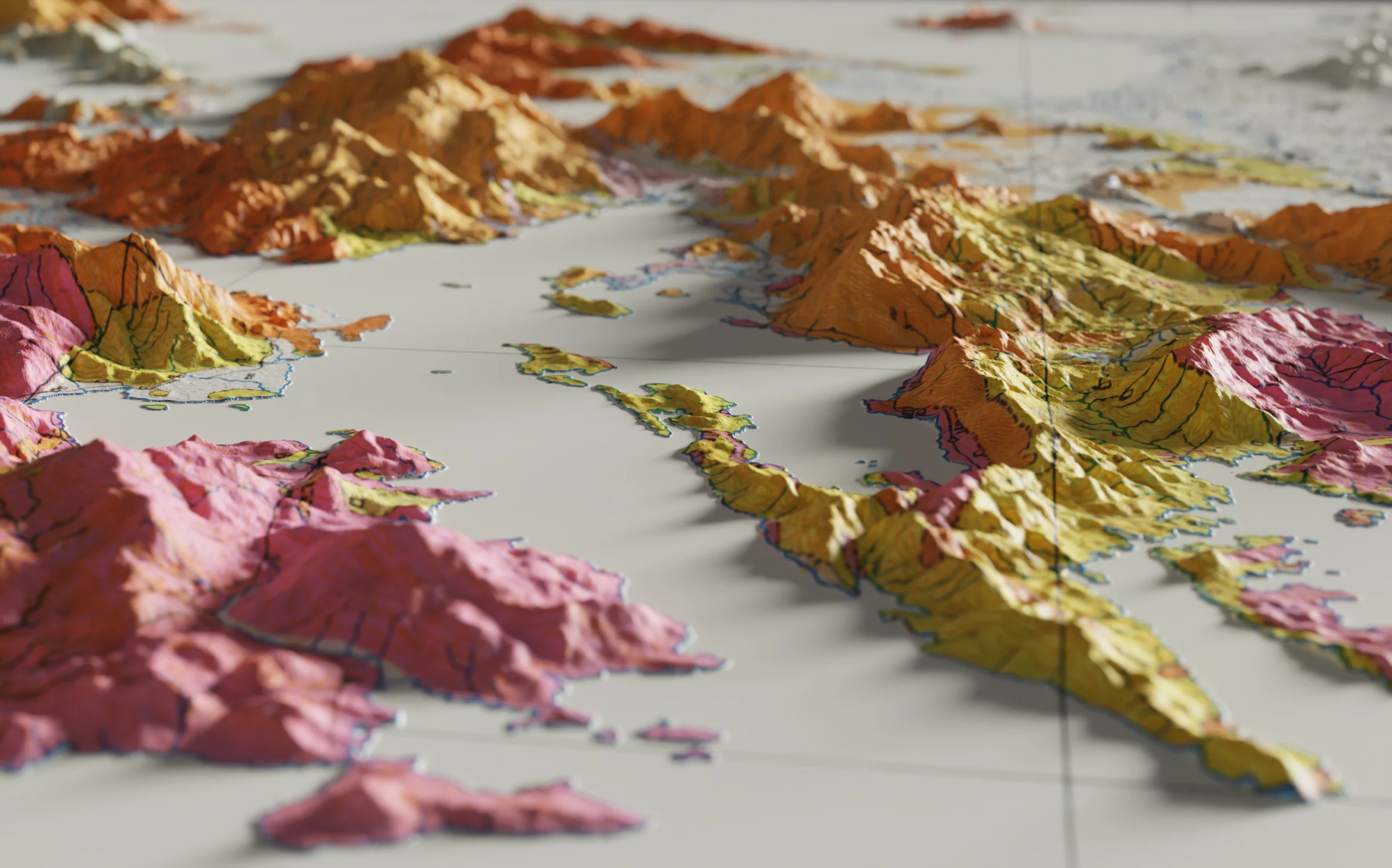
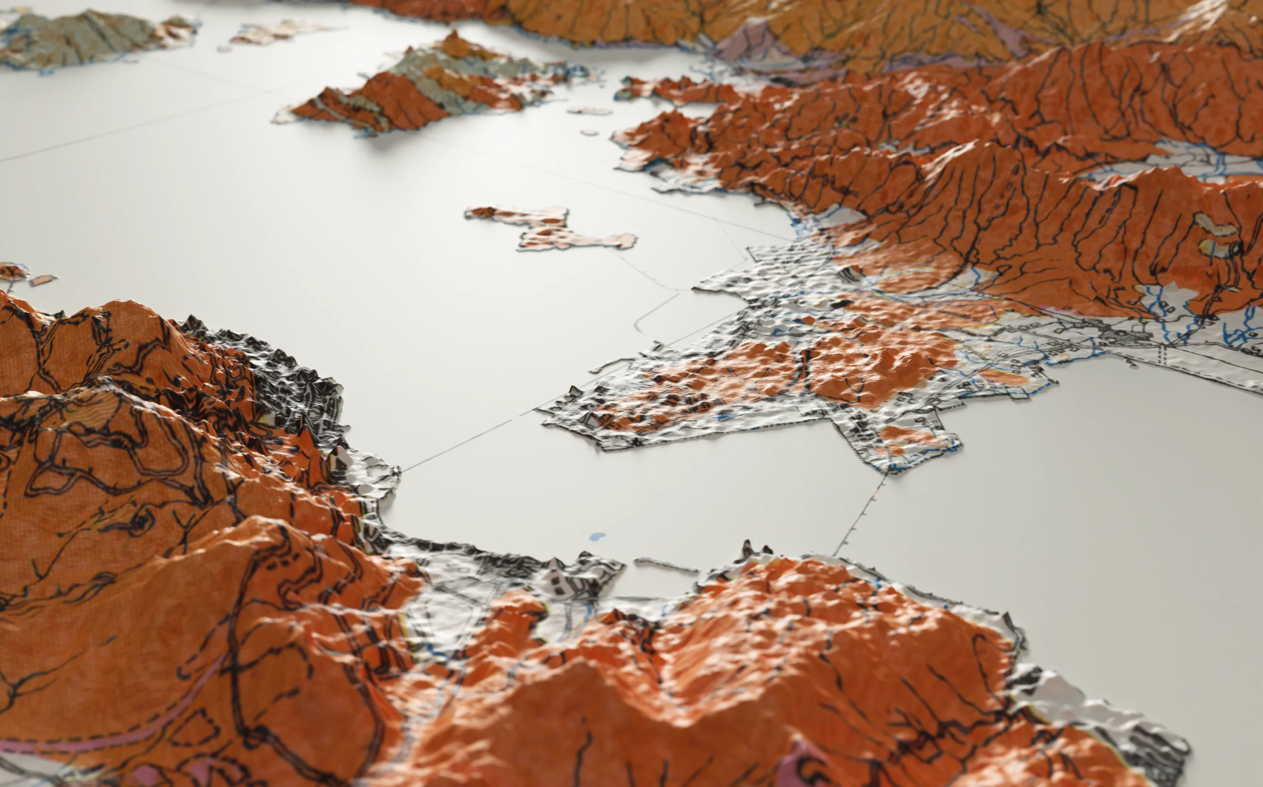
The 3D terrain is produced with digital elevation models (DEM) from Shuttle Radar Topography Mission (SRTM). This highly accurate contemporary terrain data recorded in space has discrepancies to the manually produced map, such as positional differences or yet-to-happen land reclamations. Prioritizing authenticity over accuracy, the DEM data is modified to fit the historic map.
All assets are then put together in Spark AR Studio, adding image target tracking and toponyms toggle functions. This allows the user to project the relief map onto the puzzle, and appreciate the terrain from all angles without clutter, or with all original details, in the Facebook and Instagram App.
